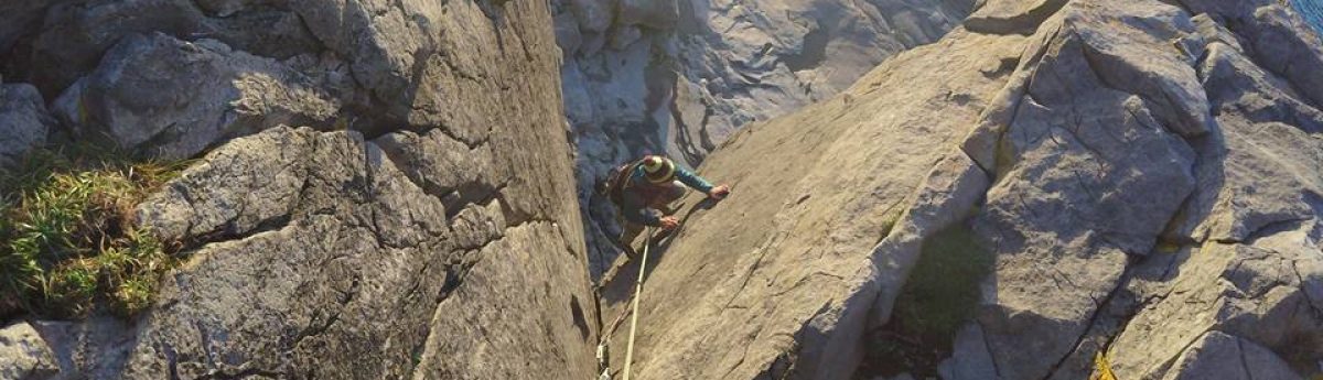
On your Mountain Skills 1 & 2 training, you will have been given a host of new skills. This course is designed to make you personally proficient in the Irish and UK hills.
Only through practising those skills in your own time will you become competent at them.
Hopefully, skills that will help you make safe choices in the hills, identify hazards, confidently navigate in poor visibility, manage yourself over complex and steep terrain, deal with minor emergencies and know who to call in the event of a bigger emergency.
But what next?
This blog is for people who have completed their Mountain Skills 1 & 2 training courses and are aiming to complete their consolidation period and perhaps even go for an MS assessment.
When can I apply for my Mountain Skills Assessment?
Consolidation
A minimum of 14 hill-walks must be logged before going for assessment and there are detailed criteria for what constitutes a hill-walk worthy of logging, which I list below:
To occur in a recognised hill/mountain environment of Ireland or the UK.
While low land trails and coastal walks can be rugged and require the use of hiking boots, they don’t meet the criteria.
Perhaps as a guideline, aim to spend the majority of your day at an elevation of above 500 metres or more.
Not a repeat of an already logged walk.
Don’t log the same walk twice or do the same walk in reverse and call it a separate walk.
However plenty of mountains have many routes to the top, so if you climb and descend the same mountain via two totally separate routes and only share the summit or cover some of the same ground, this can be acceptable.
A minimum of 4 hours duration.
Anything less than this isn’t really a full walk, allowing you the opportunity to practice your navigation skills and cover a decent amount of ground.
You should have personally played an active part in organising and implementing the day.
If you hop in a friends car, take no role in organising the walk and follow them around for the day, it will teach you nothing.
Going solo can be a great way to gain the logistical and navigation skills needed to be personally proficient in the hills.
–The route should not solely follow a waymarked way or path. While it’s often necessary to start and finish the route via a waymarked trail of the path, it shouldn’t constitute the larger part of the day.
The best part of this award is that literally empowers you to get off the beaten track. You will be assessed away from trails and paths, so logging walks on them isn’t going to help you.
The walks should present an opportunity to use relevant skills from the course.
If your walks are all logged on perfectly clear weather days, on terrain familiar to you, then it’s very likely you won’t have practised navigation in a realistic way.
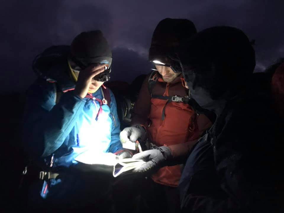
Visit areas you are unfamiliar with and go out on days with bad weather, when its safe to do so. Go out at night-time and practice too, if even only for a couple of hours. It’s on these days and nights that you hone your skills.
In addition to the above, you must log at least 4 of your walks in the two months prior to your assessment, you should have walked in a number and variety of upland areas and you must hold a valid outdoor first-aid certificate.

How To Practice
- Be sure to practice all the skills taught in the MS courses, they all have their purpose and place when they should be used. For example, don’t rely on pacing for every leg. This is common to see, but It gets tedious and is unrealistic on longer legs when the timing might work better. Or know when to use an attack point technique, where you only have to pace the smaller leg.
- Don’t set out to practice for navigation for the entirety of your 4 to 5-hour walk. Aim to drop in small bits of navigation practise as you enjoy the day out, or it may start to feel like a chore and will put you off practising. Closer to the assessment then, concentrated nav practice hikes are a good thing, to really polish off the skills, but for the most part get out and enjoy the hills.
- When practising, set yourself 3 or 4 navigational legs in a row, where you will only reach the target if you get each of the legs correct. That way if you make a mistake there’s no bluffing that you got it right and you can self-teach as to where you made the mistake. Viewranger or a sat-map can be excellent tools for confirming where or how we made mistakes. Or for instant feedback confirming that we are correct!
- Have an experienced friend give you regular mock tests on the hill, or if your friends are inexperienced, have them test you using Viewranger or something similar.
- Don’t forget to practice at night. You probably won’t just figure it out on the assessment, but do it somewhere that it’s very safe to re-locate if you get lost. I used to practice for my MS on a hill near a telephone mast, I always had the safety net of knowing my car was parked beside a flashing red light if I was to get truly lost.
- Read pages 14 & 15 of the Mountain Skills handbook, it lists clearly the types of navigational legs and tasks that an assessor will be giving you. Practice like you will be assessed. For example, one of the tasks is “You can select and follow a route of not less than 1.5km in length to a given destination using the map only?”. These are the kind of navigational legs you should be setting for yourself when practising.
- Visit other parts of the country and practice in unfamiliar terrain.

Pre-Assessment
How will you know when you are ready for the Mountain Skills Assessment? Some people will just know they are ready and will have the confidence to go ahead. If you’re not quite sure there are a few different options that can help you to decide:
- Ask a more experienced hiking friend to go for a hike with you and be honest about what they see. Have them throw a few trickier navigation legs at you. Are you confident and assured and able to manage yourself? Then maybe its time for the assessment.
- Examine the MS1&2 syllabus from the MS handbook. When looking at each part of the syllabus ask yourself do you really understand that skill or aspect of the course? If you really understand it that’s great. It’s a good sign you might be ready for assessment. But if there’s a particular aspect of it that you don’t understand or don’t remember being taught, then do some further training online, ask an experienced friend to teach you or go back to your instructor to ask for further guidance. I always tell customers that their MS course only finishes when they pass their MS assessment and up until then they are welcome to email me if a part of the course needs clarification.
- There is an assessment checklist on page 33 in the MS handbook. Read it and be honest with yourself about the answers. This will give you a good idea of whether you are ready or not.
- If its been years since you did your training or you really struggle with an element of the course, consider hiring an instructor for a short refresher course, either 1:1 or as part of a group. We can only absorb so much info at one time and we lose more over time, so it’s common to be rusty or completely forget things. A refresher course can be well worth doing and an element of “mock assessment” can be incorporated into it to give you a feel for the real thing.
- If in doubt, do more. There’s nothing like booking and getting your assessment date to focus your mind. If you have an upcoming assessment and don’t feel quite ready then get out and practice more. Lots more.
- Read over the sample written paper in the MS handbook. If you are struggling to answer the questions you may need further training or practice.
- The above consolidation criteria are minimums. Don’t aim for 14 walks as a target. I know from my own personal experience that ticking the minimum requirements can start to feel like a chore, whereas it’s been on the additional walks I’ve done that the skills really sank in.

The Mountain Skills Assessment
It’s common for people to be nervous in the run-up to and on the assessment. For some people, it will have been a long time, or even first time, they were assessed on a set of practical skills. The assessor will allow for all that.
Below are a couple of tips worth remembering on the day.
- The contour features you will be asked to navigate to are always the same. They will be big or medium-sized features and not tiny obscure ones. At a mountain skills level, they will be Spot Heights, Spurs, Cols, Re-entrants and major slope changes, either in angle or direction, covering multiple contour lines. If an assessor is asking you to find a small single contour line feature, hardly noticeable on the map, then they are either testing you too hard, or you can take it as a compliment that you have been doing really well and they are looking to challenge you. This would be appropriate to do a couple of times over the course of an assessment if you were performing well, but you shouldn’t consistently be asked to locate difficult contour features. This would normally be the standard of the Mountain Leader candidate.
- Assessors can get a reputation for being stern or austere, which can add to the pressure of the assessment, but before you judge them understand that their feedback to you generally has to be muted. For example, if an assessor praises you too much you could become complacent and make errors, affecting your confidence and adding pressure when it’s not needed. For this reason, assessors will rarely tell you whether you were right or wrong on a navigational leg. It should be obvious on the next leg if you weren’t at the spot you thought you were and it’s good to let your assessor know that you can correct a mistake.
- If you do make a mistake on one of your navigational leg, it is not a big problem. Keep calm, think rationally and try to do better on the next leg. It would be over-zealous to think isolated mistakes will affect the outcome of your assessment. The assessor will be looking for consistency but will forgive the odd error. We all make them. If the pattern is that you consistently make the same mistakes, then this could lead to a fail or a deferral, however. A pattern of mistakes shows you aren’t fluent with the skills needed.
- Use appropriate techniques. If it’s a blue sky day and you are asked to navigate to an unmistakable nearby feature, which you can clearly see, then there is no need for any navigation technique other than using your eyes and feet. At the other end of the spectrum, if visibility is poor, use every tool at your disposal to make sure you can find what you are looking for. Be realistic with your legs, the assessor isn’t trying to trick you, they just want to see you use the appropriate tactic for the job.
- Don’t be overeager to show how good your compass skills are. A lot of legs can be navigated by using a map on its own or for the most part. For example, if you are using an attack point as a technique, it can often be achievable to locate the bigger object by using the map alone, then using the compass to locate the smaller nearby object. This will be quicker, easier and show the assessor you are confident. You will be given plenty of opportunities to have your compass skills tested.
- Concentrate! A two-day assessment like this gives you ample time to show a range of your skills but also your ability to focus and concentrate. Snack regularly, drink plenty of water to keep your brain at full power and keep your concentration at all times. Don’t switch off when its someone else’s leg. It’s an exciting challenge and welcome it as so, it’ll make passing all the sweeter.
- Make sure you bring extra layers and that your gear is up to standard for poor weather. An assessment is not like just going out for a long walk. You will stop and start a lot! Sometimes the stops can be lengthy and the weather can be atrocious at any time of year in Ireland. Dress accordingly.
- Don’t take too long working out your navigational legs. It should only take a couple of minutes to formulate a plan and calculate your bearings etc. If you take an excessive amount of time to calculate a bearing or decide on a plan, it’s a clear sign you haven’t practised enough and aren’t fluent with the skills. However, a good assessor will allow for nerves early on and to let you settle into the pace of the assessment.
- Really understand what it is the assessor wants to see from you over the courses of 2 days. At the end of the assessment, he/she will want to be absolutely clear in their mind that you are personally capable of keeping yourself safe in the hills in a variety of conditions. They will be personally endorsing your pass. They don’t want to turn on the news the next weekend and hear you’ve walked off a cliff, so they are doing you no favours if they make it too easy for you.
- Don’t try anything new on the assessment. If you haven’t practised a technique you probably won’t execute it correctly on the assessment, no matter how much you think it might work. The same goes for equipment if you are breaking in a pair of new boots or haven’t tested a waterproof layer yet, it’s bound to go wrong.
To sum it up, the easiest way to pass the assessment is to have all your navigation skills sharp, turn up prepared and with the right equipment and have an enthusiastic approach.
It’s a fantastic feeling to pass an assessment, to have an assessor validate you’re becoming self-reliant in the mountains and for all the possibilities and adventures that will allow in the future, enjoy it!
